Boating Charleston SC Inshore Waters: Tides, Shoals, and Local Rules Every Angler Should Know
A practical guide to navigating Charleston SC inshore waters by boat — understanding tidal currents, avoiding shoals, local no-wake zones, and staying safe on the Ashley, Stono, Wando, and harbor waters.
Boating Charleston SC Inshore Waters: Tides, Shoals, and Local Rules Every Angler Should Know
Charleston SC fishing offers some of the East Coast's most productive inshore waters, but these Lowcountry creeks and flats can humble even experienced boaters. From the shifting shoals around Morris Island to the maze of spartina grass in the ACE Basin, understanding local navigation hazards, tidal patterns, and boating regulations isn't just about safety — it's about fishing success. The difference between a banner day on Charleston redfish and a frustrating slog often comes down to reading water, timing tides, and knowing which areas to avoid when conditions turn sketchy.
Understanding Charleston's Complex Tidal Systems
Charleston inshore fishing revolves entirely around tidal movement, but this isn't your typical twice-daily rise and fall. The Lowcountry's intricate creek system creates a web of micro-environments where tides arrive at different times and behave differently. The harbor entrance turns first — by the time the harbor is dropping, upper creeks and back bays may still be holding near high water. This tidal lag can be 30 to 90 minutes depending on distance from the harbor mouth. Bulls Bay could be dead low while the Stono River is at mid-tide.
These tidal variations create feeding opportunities that shift throughout the day. Charleston speckled trout move with specific tidal phases, while redfish behavior changes dramatically between creek systems. Understanding how water moves through places like Bohicket Creek versus the Wando River gives you the edge in timing your fishing windows.
The key is recognizing that published tide tables only tell part of the story — each creek has its own personality based on depth, width, and distance from the harbor. MarshMind calculates exactly when each Charleston zone hits peak feeding conditions based on real-time tidal flow.
Navigating Charleston's Notorious Shoals and Hazards
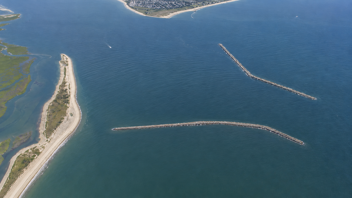
Charleston Harbor and its surrounding waters are littered with shoals that can ruin your day — or your lower unit. The area around Morris Island is particularly treacherous, with shifting sand bars that change position seasonally. Even locals get caught off guard when familiar channels suddenly become too shallow.
Breach Inlet between Sullivan's Island and Isle of Palms represents one of the most challenging navigational areas for Charleston anglers. The inlet's mouth constantly shifts, creating new bars while washing out established channels. What looked passable at high tide becomes a boat-wrecking nightmare when water drops.
The Folly Beach area and approaches to the Stono River require constant vigilance. Oyster beds and grass flats that hold fish also pose real hazards to props and hulls. Smart Charleston boaters learn to read water color, wave patterns, and bird activity to identify shallow areas before they become problems.
MarshMind's zone scoring system factors in current water levels and navigational hazards so you know which areas are safely fishable right now.
Charleston Harbor Traffic and No Motor Zones
Charleston's commercial shipping traffic creates unique challenges for inshore anglers. Large container ships require massive turning basins and approach channels that recreational boats must navigate around. The shipping lanes demand constant awareness — these vessels cannot stop or turn quickly, and they create substantial wakes that can swamp smaller boats.
James Island and Johns Island areas see heavy recreational traffic, especially on weekends. Understanding right-of-way rules and maintaining proper spacing becomes critical in popular fishing zones. The approach to Shem Creek can become congested during peak fishing times, requiring patience and defensive boating.
Several Charleston inshore areas have specific no-motor zones or idle speed requirements, particularly around wildlife refuges and sensitive marsh areas. These regulations exist for good reason — they protect both wildlife and the shallow grass beds that make Charleston redfish and trout fishing so productive.
Check MarshMind to see which Charleston zones are scoring highest for fishing while avoiding the heaviest boat traffic patterns.
Seasonal Water Level Variations and Their Impact
Charleston's inshore waters undergo dramatic seasonal changes that affect both navigation and fishing success. Spring brings higher average water levels, opening up back-country areas that might be inaccessible during winter's lower tides. This seasonal variation means skinny-water spots in the ACE Basin might be perfect in April but unfishable by August.
Summer's lower water levels concentrate baitfish and predators in deeper creeks and channels. Areas around North Edisto that are productive during spring's higher water require different approaches when water drops. The key is understanding how seasonal patterns interact with daily tidal movement.
Winter brings the year's lowest water levels, making navigation more challenging but often concentrating fish in predictable areas. Kiawah Island's back creeks might require different boat ramps and routes depending on the season. Charleston speckled trout behavior changes significantly with these water level variations.
MarshMind tracks both seasonal patterns and current conditions to score each fishing zone based on accessibility and fish activity.
Local Etiquette and Conservation Practices
Charleston's inshore fishing community operates on unwritten rules that every visiting angler should understand. Giving other boats adequate space, especially in productive areas, maintains good relationships and fishing opportunities for everyone. Crowding another angler's spot, particularly in tight creek systems, creates unnecessary tension.
Proper fish handling becomes critical in Charleston's warm waters. Charleston redfish and trout stress quickly in summer heat, so quick photos and releases keep the fishery healthy. Understanding slot limits and bag regulations helps preserve these incredible fishing opportunities for future generations.
Respect for private property and dock areas is essential. Many of Charleston's best fishing spots are adjacent to private homes and communities. Maintaining appropriate distances and keeping noise levels reasonable preserves access to these productive waters.
The app provides real-time scoring for Charleston's top fishing zones while helping you fish responsibly and sustainably.
Use MarshMind for Real-Time Charleston Navigation Intelligence
While understanding general patterns helps you fish Charleston safely and successfully, conditions change hourly in these complex inshore waters. MarshMind provides live zone scoring that factors in current tides, water levels, weather, and navigational conditions across every major Charleston fishing area. The app tells you not just where fish are biting, but where you can safely get to them with today's conditions.
[Check Today's Bite Plan on MarshMind]
 charleston
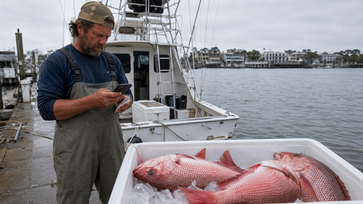 Charleston fishing
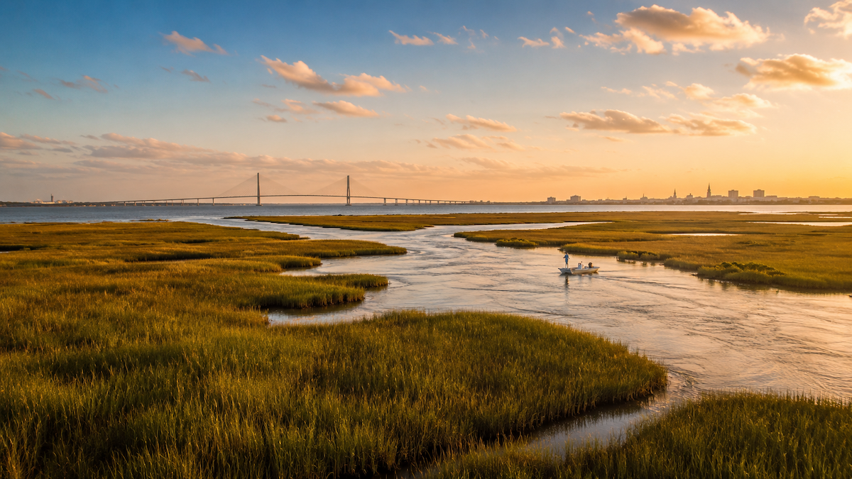 charleston fishing