Every fishable zone in Charleston.
Read in real time.
MarshMind doesn't guess. It reads live tide, wind, water temperature, bait movement, habitat data, and federal station feeds — then tells you which zones are firing, which ones aren't, and why.
“The forecast said ‘good fishing.’ It wasn't.”
Every fishing app on the market does the same thing. They check the weather, glance at the tide chart, and tell you it's a “great day to fish.”
That's not intelligence — that's a horoscope.
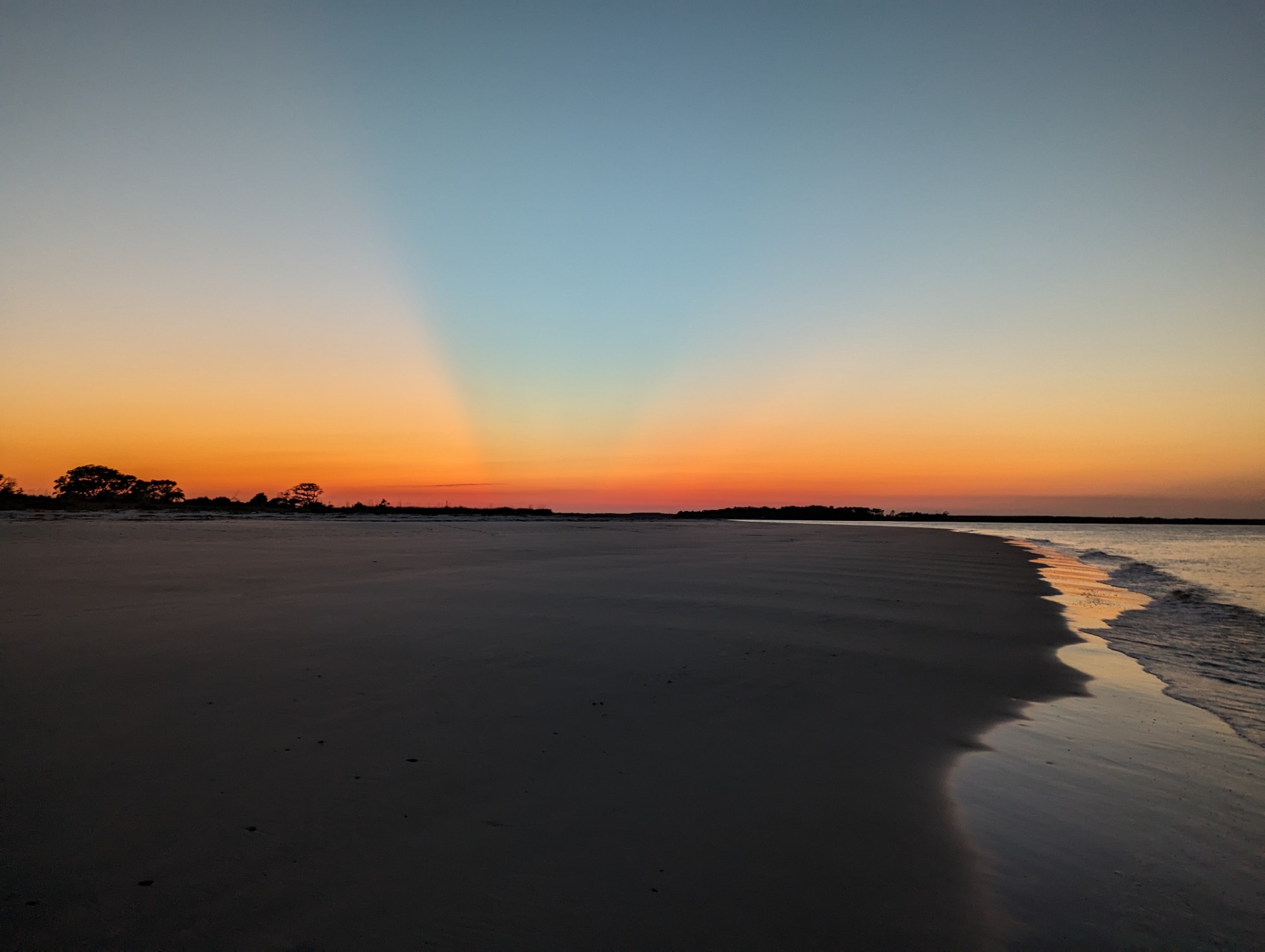
Charleston's inshore fishery doesn't work like that. A zone that fishes lights-out on an outgoing tide with southeast wind might be dead on an incoming tide with the same wind. A creek mouth that holds Redfish in April might not hold them in August. Water temperature, bait movement, bottom type, habitat structure, rainfall, moon phase — all of it matters, and it all changes constantly.
The problem isn't that anglers don't know how to fish. The problem is that nobody was connecting live environmental data to specific zones in a way that actually helps you make a decision before you leave the dock.
Built by someone who fishes here.
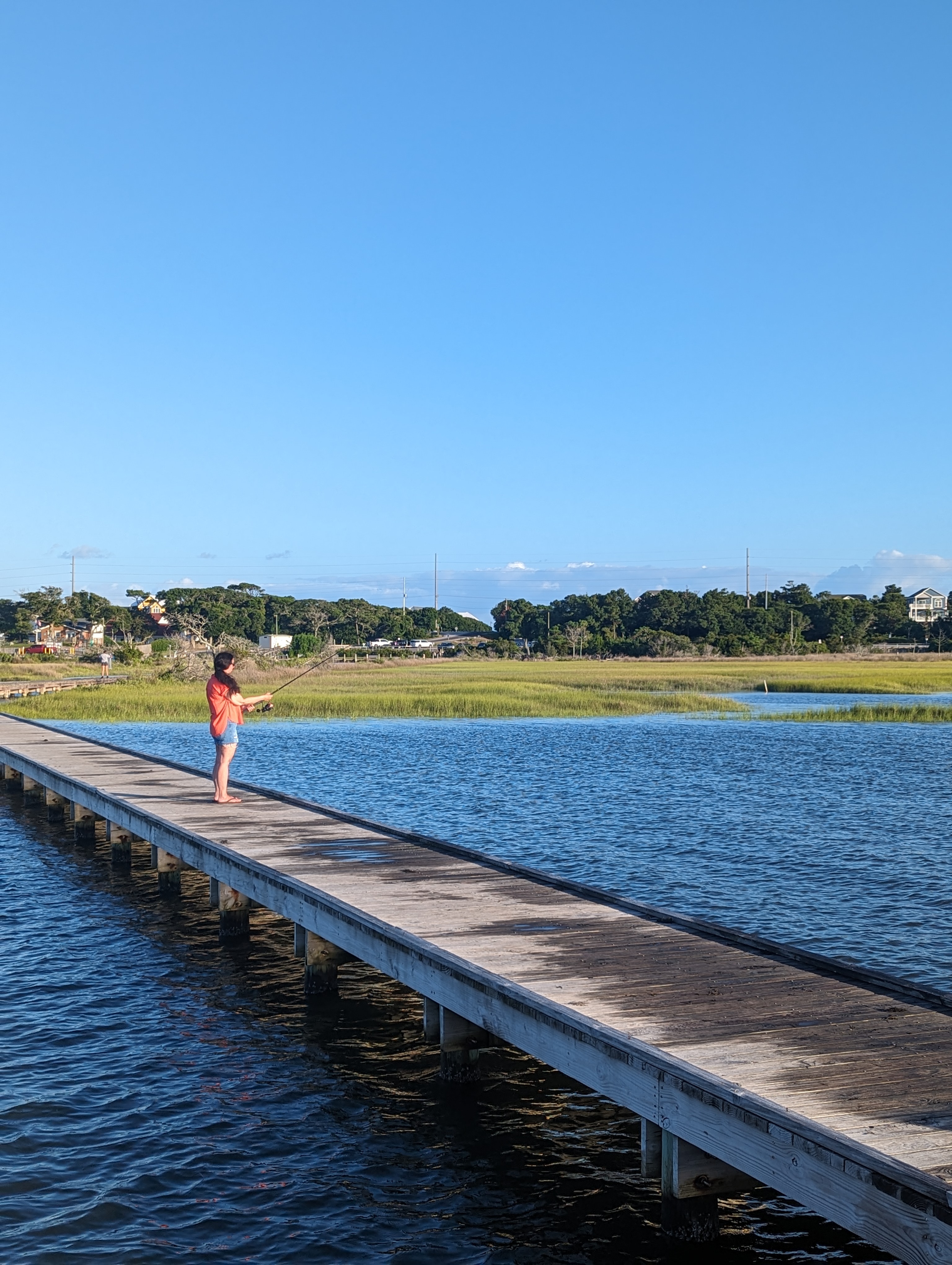
MarshMind wasn't designed in a boardroom. It was built in West Ashley by Charleston anglers who've spent decades on Lowcountry water — watching tides, studying conditions, and paying attention to what actually puts fish on the line.
Decades of fishing the same creeks, the same flats, the same dock pilings. Decades of noting which tide stage fires up a creek mouth and which one kills it. Talking with buddies after a trip and comparing notes — “what was the wind doing when you got into them?” Reading every fishing report, every SC DNR publication, every book on tidal patterns and species behavior. Studying moon phases, water temperature swings, bait migration timing, bottom structure. Recording what worked, what didn't, and slowly building a mental database that only comes from being on the water over and over again.
Every serious angler builds this library in their head. The problem is it stays there — scattered across years of memory, gut feelings, and hard-won experience that's impossible to apply consistently across every fishable zone in real time.
MarshMind is that library — pulled from local Charleston anglers, guides, captains, and decades of shared knowledge — and wired into live data. The variables it reads aren't what some tech company decided looked important on a spreadsheet. They're the things that real anglers actually pay attention to — the stuff you check before you leave the dock, the conditions you talk about at the boat ramp, the patterns you notice after a thousand trips that no weather app would ever think to track.
This isn't a national app that happens to cover Charleston. This is a Charleston app, built from the ground up for the Lowcountry's specific tides, waterways, species, and patterns.
What makes a zone a zone.
Every zone in MarshMind was placed by hand.
Not generated from a satellite image. Not pulled from a database. Located, fished, and validated based on the same things that make an angler stop the boat and say “right here.”
Some are spots that Lowcountry anglers have known about for generations — we just tell you when conditions are lining up for them. Others are zones most people drive right past without a second look. Topography that creates natural current breaks. Tidal patterns that funnel bait through a specific stretch on a specific stage. Oyster beds that stack Sheepshead in winter. Creek mouths where Flounder set up on the falling tide. Channel drop-offs, dock pilings, spartina edges, submerged structure — the kind of features you only know about from being on the water and paying attention.
Bait migration patterns play a role too. Where shrimp concentrate, where mullet push through, where crabs stage during a moon tide — those patterns create feeding zones that shift with the season. The system tracks all of it.
Every zone has its own profile: what species it holds, what habitat defines it, what tide stages make it fish, what conditions shut it down. That's not something you can auto-generate. That's local knowledge, coded into data.
What goes into every zone read.
MarshMind pulls live data from multiple sources and runs it against every active zone in the system. Here's what it's looking at:
Tide Stage & Timing
The single most important variable in Lowcountry fishing. The system tracks current stage, time to next event, and strength of tidal exchange — then matches it against species-specific tide preferences. A Flounder creek mouth that fires on the last two hours of outgoing is a completely different read than a Sheepshead piling that peaks on slack high.
Wind Speed & Direction
Wind reshapes a zone in real time. It pushes bait against shorelines, muddies shallow flats, and makes some banks unfishable while sheltering others. The system reads current speed and direction, then factors in which zones are exposed, which are protected, and how clarity is being affected.
Water Temperature
Live surface readings pulled from federal monitoring stations across the Charleston estuary system. Every species has a comfort range — Speckled Trout shut down below certain temps, Redfish feed aggressively in their sweet spot, Sheepshead stack up on structure when temps drop in winter. The system tracks this continuously, not once a day.
Bait Activity
Fish go where the food is. The system runs seasonal bait migration calendars — shrimp runs, mullet pushes, crab movements, menhaden schools — cross-referenced with current water temperature and tide to estimate what's moving and where it's likely concentrated.
Habitat & Structure
Every zone is tagged with its physical characteristics: oyster rakes, spartina grass edges, dock pilings, creek mouths, mud flats, sandy bottom, channel drop-offs. Different species relate to different structure, and the system knows which habitat types produce for which species under which conditions.
Solunar Periods
Lunar position drives feeding behavior. Major and minor solunar periods are calculated for Charleston's exact coordinates and layered into every zone read. When a strong solunar window overlaps with a favorable tide change, that's when the system pays the most attention.
Rainfall & Clarity
Rain in the Lowcountry doesn't just mean wet — it means freshwater runoff, dropping salinity, and reduced visibility in every creek it touches. The system tracks recent rainfall and estimates its impact on water clarity and salinity zone by zone. Heavy rain two days ago can still be affecting upper creek zones today.
SC DNR Trends
The South Carolina Department of Natural Resources publishes monthly inshore fishing trend data based on field surveys and captain reports. MarshMind calibrates its models against this ground-truth data to stay aligned with what's actually happening on the water, not just what the math predicts.
None of these factors work in isolation. A falling tide means nothing without knowing what species you're targeting, what habitat is in the zone, and what the water temperature is doing. The system weighs all of it together, for every zone, for every species, continuously.
From raw data to a decision you can use.
Every zone in Charleston gets scored in real time based on how the current conditions align with what actually produces fish there. The system doesn't just check if the tide is moving — it knows which zones fish best on which tide stages, which species respond to which conditions, and how multiple variables interact.
The result is a ranked list of zones with clear signals: what's firing, what's marginal, and what's not worth your time today. No vague “good conditions” — specific reads on specific water.
Your Bite Brief takes it a step further. For Pro members, it's AI-generated — the adaptive AI system reads the full environmental picture and writes a plain-language breakdown: where to go, what to target, what tide window to hit, and what to throw. It absorbs local zone intelligence — structure, current behavior, how bait moves through the water — and speaks from that knowledge naturally. It's the fishing report that doesn't exist anywhere else, because no one else is running this many variables against this many zones in real time.
What you won't find here.
We don't guarantee you'll catch fish. Nobody can. Weather changes, fish move, and sometimes the water just doesn't cooperate. Anyone who promises you'll catch fish every time is lying.
What we do is put the odds in your favor. We make sure you're on the right water, at the right time, targeting the right species, with the right setup — based on what the data says right now, not what a calendar says or what worked last weekend.
Not a miracle. Just less wrong, more often.